Rover Location Database
Idaho Rover Locations
- Idaho Map
- Idaho List
- DN44 Yellowstone
- DN43 Rexburg
- DN42 Soda Spr
- DN35 Salmon
- DN34 Lemhi
- DN33 Craters of the Moon
- DN32 Pocatello
- DN27 Flathead
- DN26 Clearwater
- DN25 Nez Perce
- DN24 Salmon
- DN23 Mtn Home
- DN22 Twin Falls
- DN18 Sandpoint
- DN17 Coeur d'Alene
- DN16 Moscow
- DN15 Wallowa
- DN14 McCall
- DN13 Boise
- DN12
- Select Grid
- Add a Place
Grid Square DN42
6 locations - China Hat - Blackfoot Reservoir - Soda Point - Baldy Mtn - Cow Camp Rd - Threemile Knoll
Potential VHF rover sites in Idaho and Wyoming grid DN42.
DN42 dimensions are 101.9 by 69.2 miles.
Explore this grid in Google Earth or equivalent:
China Hat, DN42es88
| Latitude, Longitude |
|---|
| 42.786220, -111.597090 |
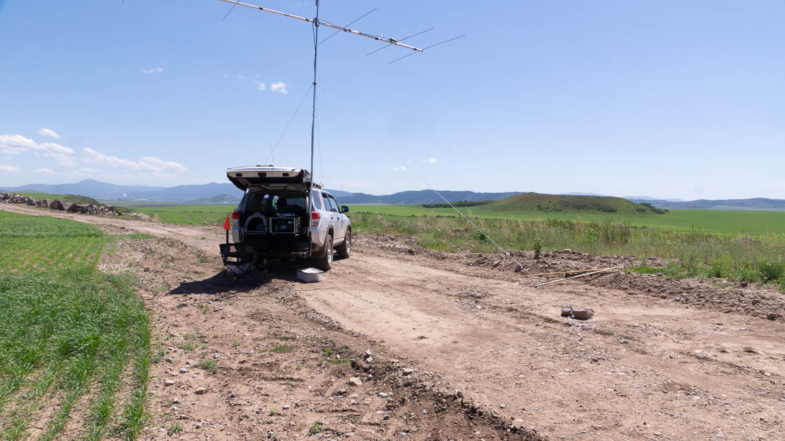
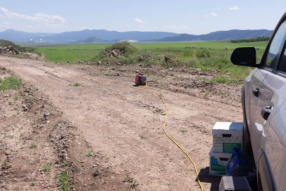

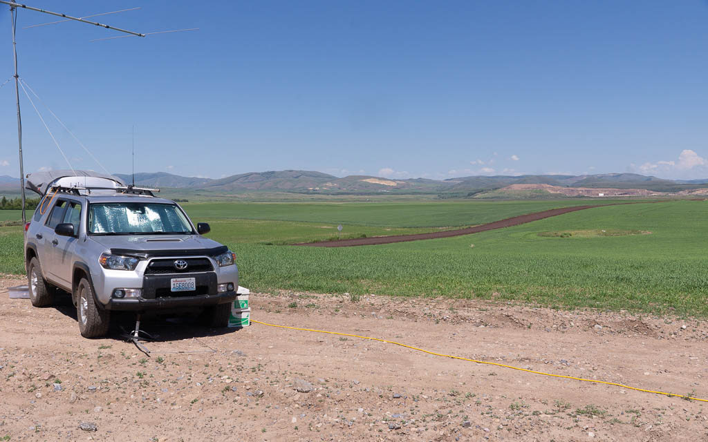

This spot is a field access road near a sharp bend on the way to the Blackfoot Resevoir recreation area. The actual China Hat is a pointed hill nearby in sight of this parking spot. I stopped here before reaching Blackfoot Reservoir because it had wide open sky and far-away hills. Basically this is one of many flat valleys in southern Idaho surrounded by high ridges. This is one of the wider valleys with more open sky than most others.
There is a KOA Kampground in Soda Springs.
Driving directions: From Soda Spring, go north on Hwy 34 for 22 miles.
Turn left (west) on China Camp Road, drive 1.7 miles.
Look for good turnouts; if you turn right (north) on Government Dam Road, you've gone too far.
Restrictions: If it has rained recently, be wary of slick mud.
Blackfoot Reservoir, DN42ev42
| Latitude, Longitude |
|---|
| 42.885180, -111.632100 |
Blackfoot Resevoir is forty minutes north of Soda Springs. There is a park and boat ramp at the south end but the spot chosen here might be a bit more secluded with a better chance of horizons to the east and southeast.
There is a KOA Kampground in Soda Springs.
Driving directions: From Soda Spring, go north on Hwy 34 for 22 miles.
Turn left (west) on China Camp Road, drive 4.1 miles.
Turn right (north) onto Government Dam Road, drive 5.0 miles.
Turn right (east) onto unpaved loop road.
Soda Point, DN42dp53
| Latitude, Longitude |
|---|
| 42.641640, -111.702299 |
Baldy Mtn, DN42an61
| Latitude, Longitude |
|---|
| 42.548354, -111.947672 |
Might be some likely VHF spots along the ridge line south of Lava Hot Springs.
Cow Camp Rd, DN42cv13
| Latitude, Longitude |
|---|
| 42.891526, -111.822490 |
Dirt road along N-S ridge. Look for a good spot starting here.
Threemile Knoll, DN42bh98
| Latitude, Longitude |
|---|
| 42.325163, -111.837117 |
Hill with an access road through a sand pit.
| < Previous | Page 5 of 24 | Next > |
©1998-2024 Barry Hansen