Rover Location Database
Idaho Rover Locations
- Idaho Map
- Idaho List
- DN44 Yellowstone
- DN43 Rexburg
- DN42 Soda Spr
- DN35 Salmon
- DN34 Lemhi
- DN33 Craters of the Moon
- DN32 Pocatello
- DN27 Flathead
- DN26 Clearwater
- DN25 Nez Perce
- DN24 Salmon
- DN23 Mtn Home
- DN22 Twin Falls
- DN18 Sandpoint
- DN17 Coeur d'Alene
- DN16 Moscow
- DN15 Wallowa
- DN14 McCall
- DN13 Boise
- DN12
- Select Grid
- Add a Place
Grid Square DN22
10 locations - Notch Butte Lookout - DN21-22 Jackpot - Bliss Rest Area - Jerome Rest Area - CJ Strike Park - Gedney Butte - Pence Butte - Sugar Loaf - Cherry Springs Rd - Dave's Pass
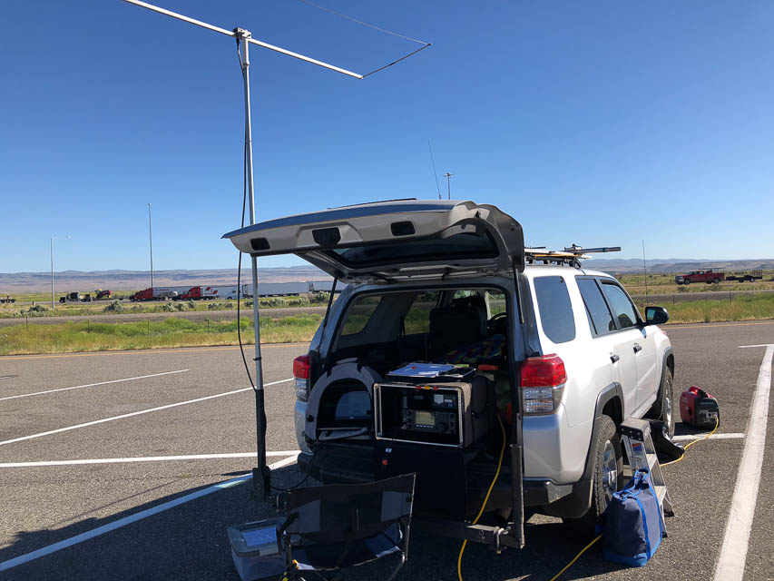
Potential VHF rover sites in Idaho grid DN22.
DN22 dimensions are 101.9 by 69.2 miles.
Explore this grid in Google Earth or equivalent:
Notch Butte Lookout, DN22sv92
| Latitude, Longitude |
|---|
| 42.884833, -114.418690 |
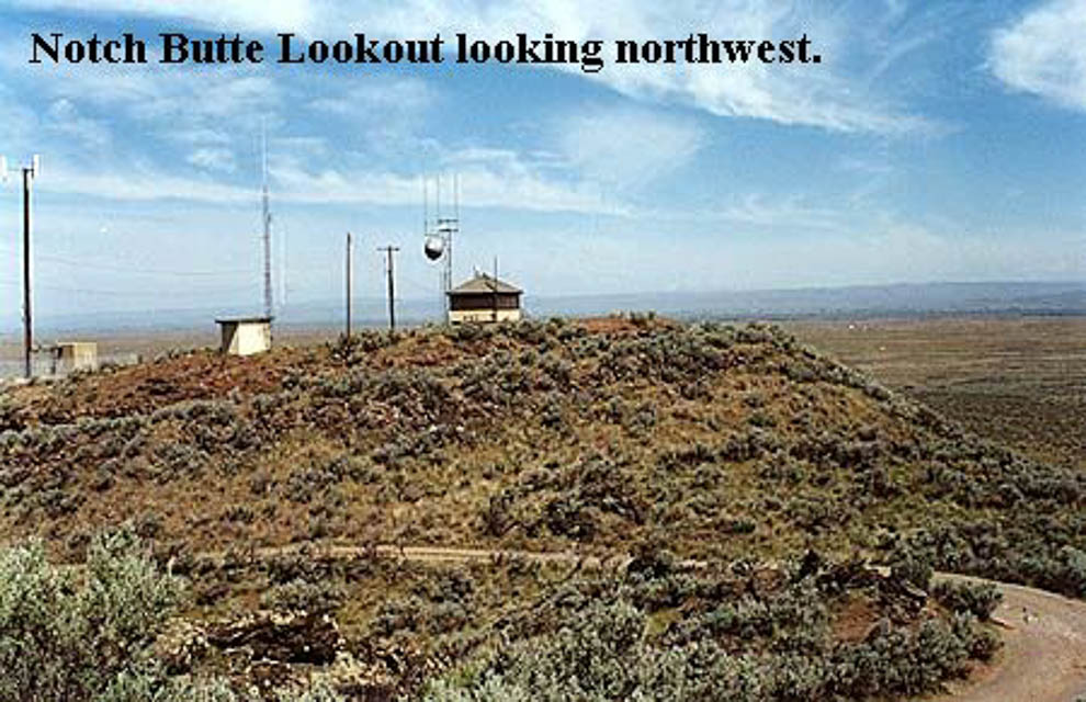
Notch Butte is a BLM lookout, at a quick 1/2 mile side trip off Highway 93 between Twin Falls and Shoshone. The butte is only about 300' above the immediate surrounding terrain, but might make a good rover stop.
There are two summits on the butte (both loaded with repeaters), with a "notch" in between them. The lookout may be staffed in the summer.
Driving directions: Three miles south of Shoshone, ID.
DN21-22 Jackpot, DN22pa90
| Latitude, Longitude |
|---|
| 42.000000, -114.673780 |
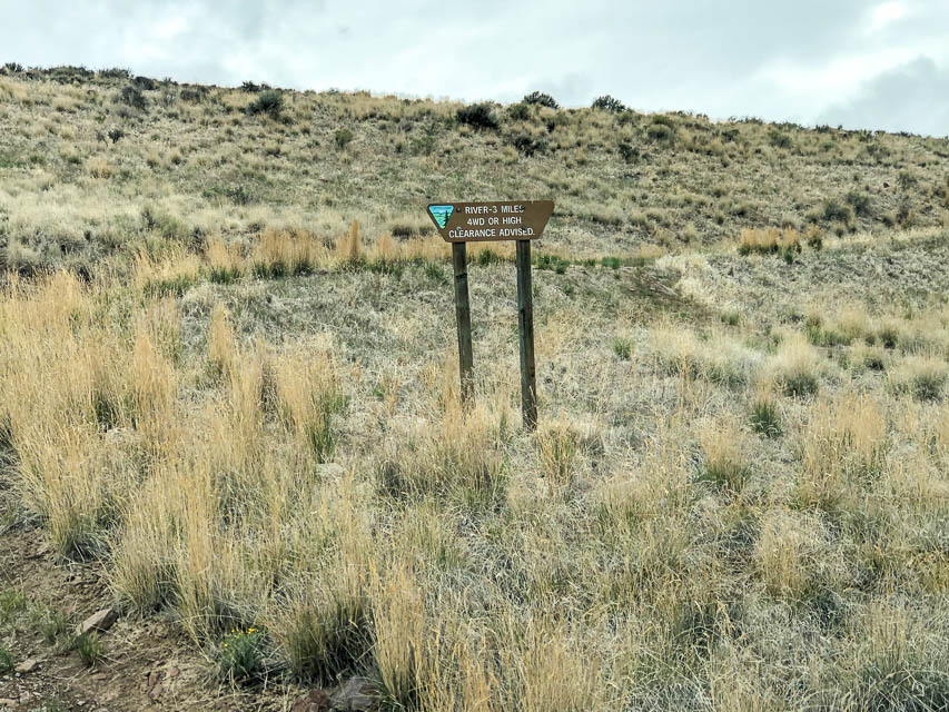
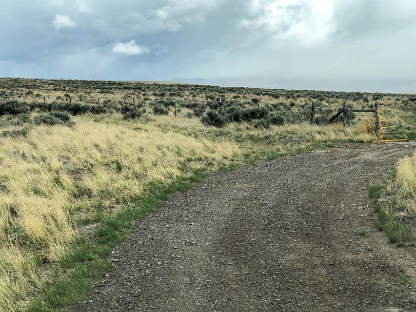
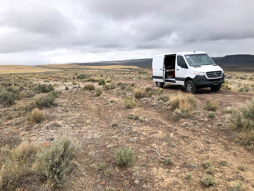

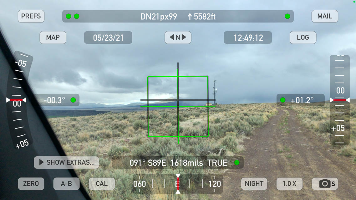
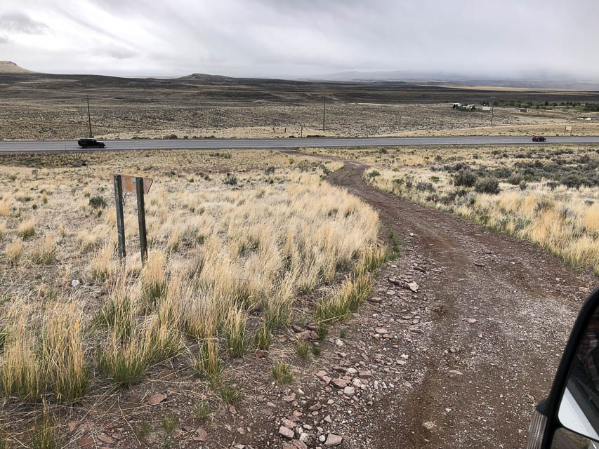
How handy! The DN21-22 grid line is a short 1/4-mile scramble from the main Hwy 93. A bare and level spot in scrub brush lets you keep the unpaved road clear, which leads to a cellphone tower toward the south.
Driving directions: From Jackpot, NV, drive north on Hwy 93.
In a half mile, after speed limit rises, look for turnoff on the left.
A signpost has "River 3 miles, 4WD or high clearance advised".
Cross a cattle grate and turn left.
Restrictions: 4WD is needed for loose stuff on unpaved road.
Bliss Rest Area, DN22lw15
| Latitude, Longitude |
|---|
| 42.939310, -115.071183 |
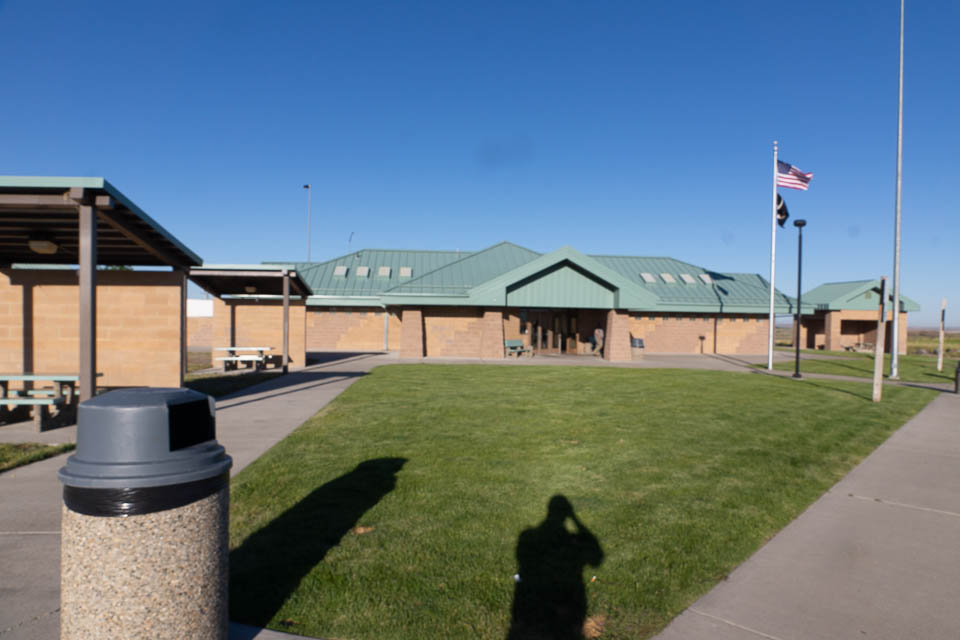
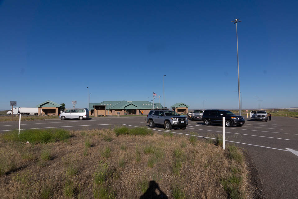
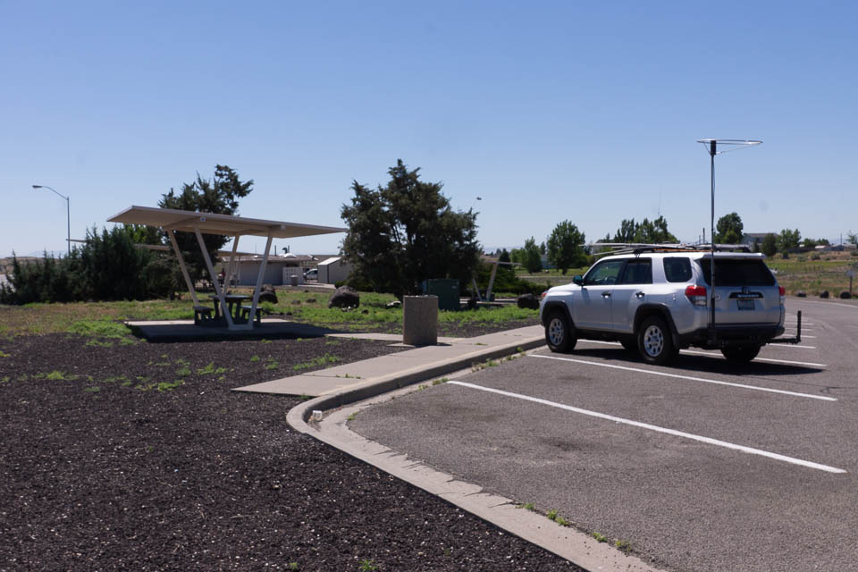
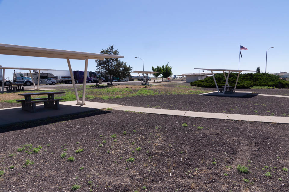
This is a wide open Rest Area on I-84 (US Hwy 26) between Glenns Ferry and Gooding, ID. Look for it between Exit 129 and 137 in southern Idaho.
It's a good easy quick stop off the highway with parking, restrooms and open horizon in all directions.
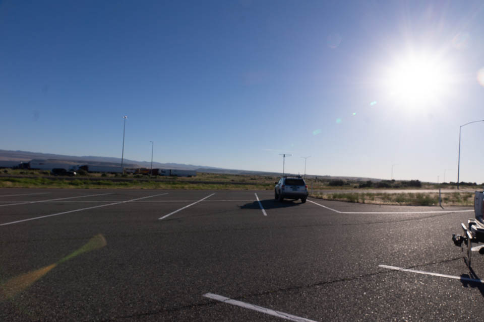
Jerome Rest Area, DN22sp36
| Latitude, Longitude |
|---|
| 42.651344, -114.473458 |

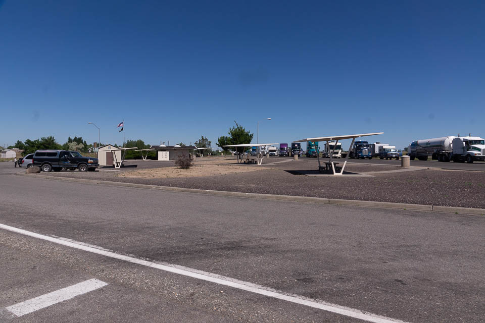
This rest area near the intersection of I-84 and Hwy 93. However, it is only reached from Eastbound I-84. You can try the nearby Flying J Travel Center if travelling from any direction and for more services.
CJ Strike Park, DN22aw39
| Latitude, Longitude |
|---|
| 42.954256, -115.971130 |
CJ Strike Dam includes a large wildlife management area about 30 minutes southwest of Mountain Home. This spot on the backed-up Snake River is in the northwest corner of DN22 and offers ample parking for recreation activities. It has an open view toward the southeast across the lake. The park surrounds the lake and you might find other spots with horizons in different directions.
Driving directions: From Mountain Home, take Hwy 51 - 67 - 167.
Turn left (south) onto Strike Dam Cut-Off Road.
Gedney Butte, DN22bl33
| Latitude, Longitude |
|---|
| 42.474732, -115.888435 |
Gedney Butte is a mild rise alongside Hwy 51 with a convenient turnoff at a sand pit. Quick and easy access.
Pence Butte, DN22ic53
| Latitude, Longitude |
|---|
| 42.096610, -115.287746 |
It's called a "butte" and it has a road, but it sure looks flat.
Sugar Loaf, DN22ti76
| Latitude, Longitude |
|---|
| 42.361190, -114.356187 |
This spot on Indian Spring Road has a turnoff to Sugar Loaf about 500' to the west. The road follows a n-s ridge line that probably has some operating spots.
Cherry Springs Rd, DN22uj14
| Latitude, Longitude |
|---|
| 42.394188, -114.323405 |
From FR-554 take Cherry Springs Road to explore a long n-s bare open ridge line.
Dave's Pass, DN22xb49
| Latitude, Longitude |
|---|
| 42.081599, -114.044491 |
Satellite view suggests off-road access from this point on Coal Bank Road to reach a knoll just north.
| < Previous | Page 15 of 24 | Next > |
©1998-2024 Barry Hansen