Rover Location Database
Idaho Rover Locations
- Idaho Map
- Idaho List
- DN44 Yellowstone
- DN43 Rexburg
- DN42 Soda Spr
- DN35 Salmon
- DN34 Lemhi
- DN33 Craters of the Moon
- DN32 Pocatello
- DN27 Flathead
- DN26 Clearwater
- DN25 Nez Perce
- DN24 Salmon
- DN23 Mtn Home
- DN22 Twin Falls
- DN18 Sandpoint
- DN17 Coeur d'Alene
- DN16 Moscow
- DN15 Wallowa
- DN14 McCall
- DN13 Boise
- DN12
- Select Grid
- Add a Place
Grid Square DN32
12 locations - American Falls Reservoir - Coldwater Hill - Cotterell Rest Area - Sid Butte - Shale Butte - Graham Peak - Horse Butte Rest Area - North Chapin Mtn - Sand Gulch - Canyon Bluff - Samaria Mtns - Lake Walcott SP
Potential VHF rover sites in Idaho grid DN32.
DN32 dimensions are 101.9 by 69.2 miles.
Explore this grid in Google Earth or equivalent:
American Falls Reservoir, DN32ns46
| Latitude, Longitude |
|---|
| 42.778917, -112.882165 |
Coldwater Hill, DN32ko27
| Latitude, Longitude |
|---|
| 42.613870, -113.145200 |
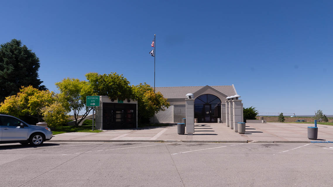
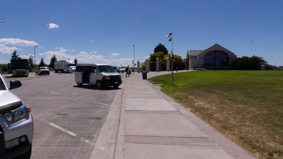

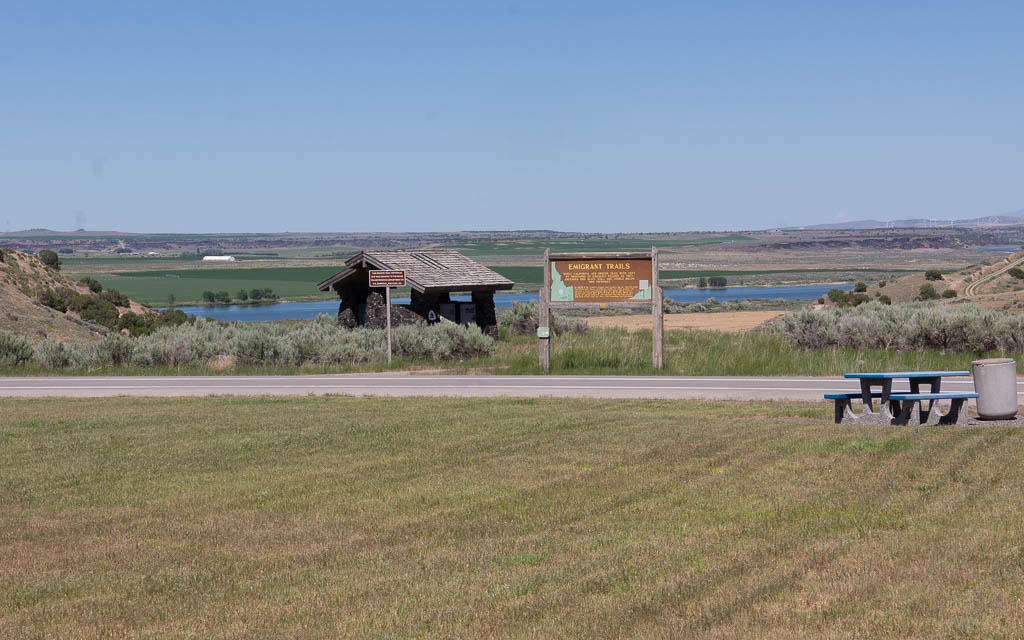
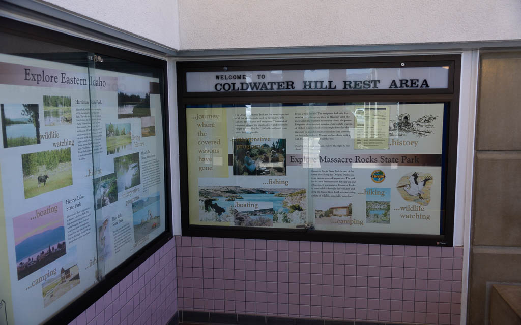
Coldwater Hill is a rest area along I-86 in the Snake River valley with a historical site regarding early emigrant trails to California and Oregon in the 1850s. Some ruts have been preserved from settlers' wagon trains. Spend a few minutes on this bluff to appreciate how hard people worked to Go West.
The rest area has ample parking, but you can gain a little more altitude and a more open horizon by using the nearby frontage road (Coldwater Road). Continue eastbound on I-86 for one mile, take the next exit (Osborn Loop road) and double back. Find a wide spot or a farmer's field access apron and set up there.
I had a delightful morning on MSK144 meteor scatter from 6 - 10am on Coldwater Hill.
Driving directions: It's about 30 minutes west of American Falls on I-86.
The rest stop is only on the eastbound lanes, so take one of the exits on either side
(Exit 15 or Exit 21) and use the frontage road to find an operating spot.
Cotterell Rest Area, DN32hm01
| Latitude, Longitude |
|---|
| 42.504788, -113.408781 |

Sometimes the freeway's Rest Area is a great place to pull off and make a few contacts. Cotterell Rest Area is not one of them. Sure, it has easy access, but the parking area is small, in a slight depression and it's surrounded by a 10' berm. You might make some contacts but this is not favorable for VHF distant contacts.
Sid Butte, DN32au43
| Latitude, Longitude |
|---|
| 42.848670, -113.959654 |
This spot along Shale Butte Road (which touches the lava fields) is 200' higher than Shale Butte. Sid Butte is three miles south of Hwy 24 on dirt roads.
Shale Butte, DN32cx15
| Latitude, Longitude |
|---|
| 42.981156, -113.818618 |
Shale Butte is a local high spot in the arid plane that is a half mile from DN33 to the north. Might be worth a try to see if you can park exactly on the DN32-33 grid line, a thousand feet north of Shale Butte Lake.
Graham Peak, DN32dc39
| Latitude, Longitude |
|---|
| 42.124447, -113.717122 |
Satellite view suggests a road goes to the top of Graham Peak.
Graham Peak, at 8,867 feet above sea level is the fourth highest peak in the Albion Mountains of Idaho. The peak is located in the City of Rocks National Reserve and Cassia County less than 0.2 mi south of the Sawtooth National Forest border. Wikipedia
Horse Butte Rest Area, DN32hm11
| Latitude, Longitude |
|---|
| 42.504550, -113.407381 |
Rest area along I-84 provides easy stop and large open area, but no special altitude.
North Chapin Mtn, DN32jm91
| Latitude, Longitude |
|---|
| 42.505066, -113.172209 |
The North Chapin Mtn road runs along a bare, open ridge line. There's probably a good spot somewhere along here.
Sand Gulch, DN32ql16
| Latitude, Longitude |
|---|
| 42.485623, -112.657443 |
This road might give access to the ridge along Deep Creek Mountains.
Canyon Bluff, DN32se57
| Latitude, Longitude |
|---|
| 42.196147, -112.452902 |
Looks like a decent bluff near an aircraft VOR navigation site.
Samaria Mtns, DN32tb25
| Latitude, Longitude |
|---|
| 42.065144, -112.396653 |
Looks like a driveable peak.
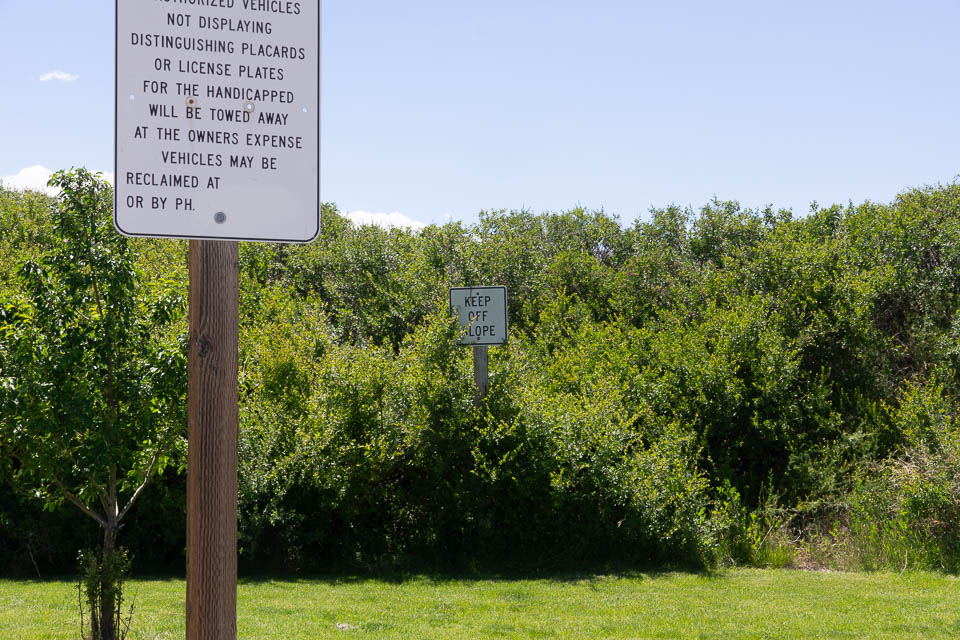
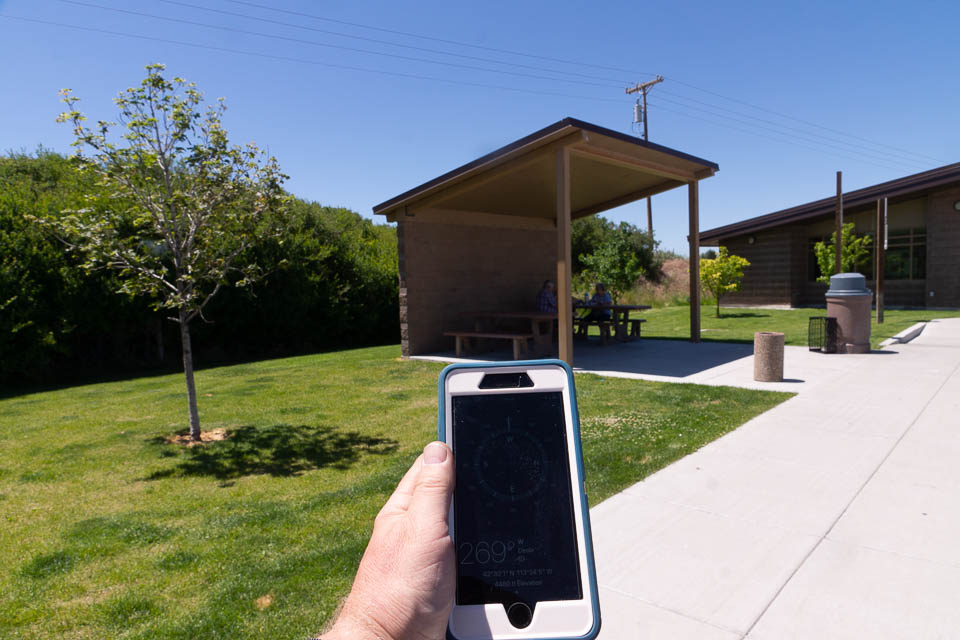
Lake Walcott SP, DN32gq21
| Latitude, Longitude |
|---|
| 42.674957, -113.482235 |
Lake Walcott State Park is an RV campsite in the Minidoka National Wildlife Refuge on the Snake River, along I-84 halfway between Twin Falls and American Falls.
You might find a good campsite to operate from, or drive from here clockwise around the lake to find another location. This area is a wide, flat valley at the south end of Crater of the Moon.
| < Previous | Page 9 of 24 | Next > |
©1998-2024 Barry Hansen