Rover Location Database
Idaho Rover Locations
- Idaho Map
- Idaho List
- DN44 Yellowstone
- DN43 Rexburg
- DN42 Soda Spr
- DN35 Salmon
- DN34 Lemhi
- DN33 Craters of the Moon
- DN32 Pocatello
- DN27 Flathead
- DN26 Clearwater
- DN25 Nez Perce
- DN24 Salmon
- DN23 Mtn Home
- DN22 Twin Falls
- DN18 Sandpoint
- DN17 Coeur d'Alene
- DN16 Moscow
- DN15 Wallowa
- DN14 McCall
- DN13 Boise
- DN12
- Select Grid
- Add a Place
Grid Square DN27
2 locations - Lookout Pass - Sunset Peak
Potential VHF rover sites in Idaho and Montana grid DN27.
DN27 dimensions are 93.4 by 69.2 miles.
Explore this grid in Google Earth or equivalent:
Lookout Pass, DN27dk99
| Latitude, Longitude |
|---|
| 47.454480, -115.671090 |
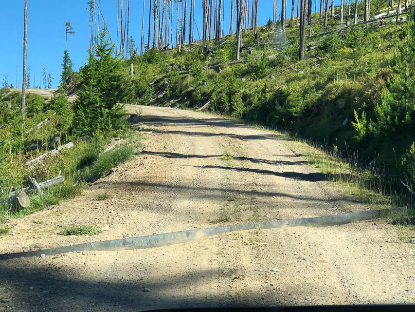
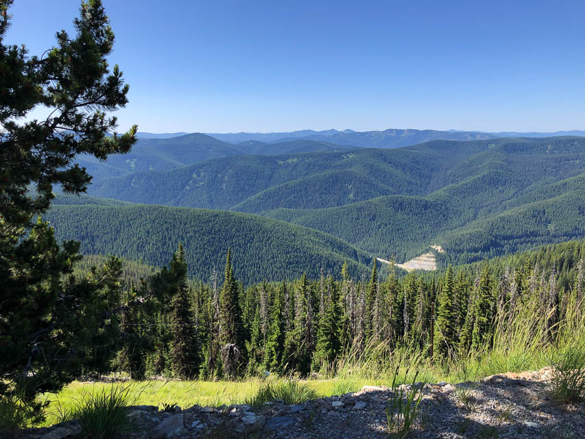


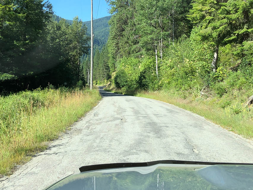
Lookout Pass is on the Idaho-Montana border on I-90. You can operate from the ski area at Exit 0, but better yet, drive up the well-maintained forest service road on the opposite side from the ski area. This is an excellent road and in twenty minutes or less you will enjoy an unobstructed horizon in all directions.
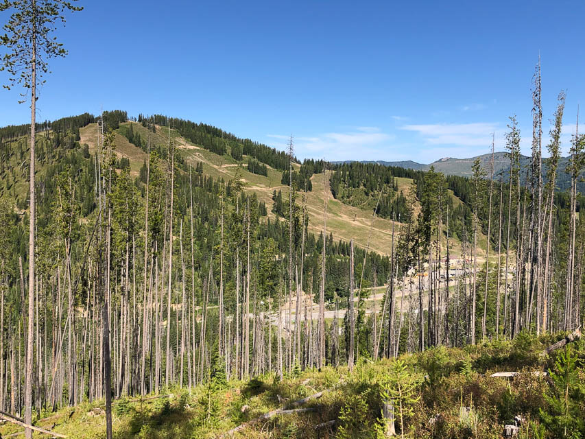
The easy drive up offers some great views of the ski area across the small valley. There is a gate on this road which is locked open during the summer. A sedan or RV can climb this hill by exercizing normal caution. Note there are rain-runoff strips in the road which look like they'll slash your tires, but they're made of heavy plasticized canvas and are no danger.
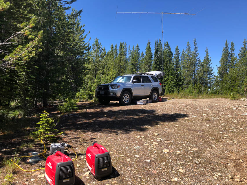
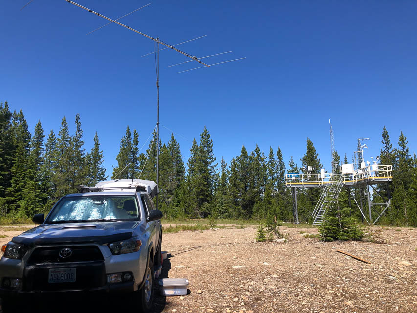
At the top, you could continue a mile to the FAA Air Traffice Control radar golf ball. Note large warning signs of "STAY BACK AT LEAST 150 FEET" and "Any person who interferes with air traffic control or trespasses on this property will be prosecuted under federal law." So, go back west a half mile to a large level clearing that can hold a dozen cars or a few large RVs. There is good Internet access via Verizon.
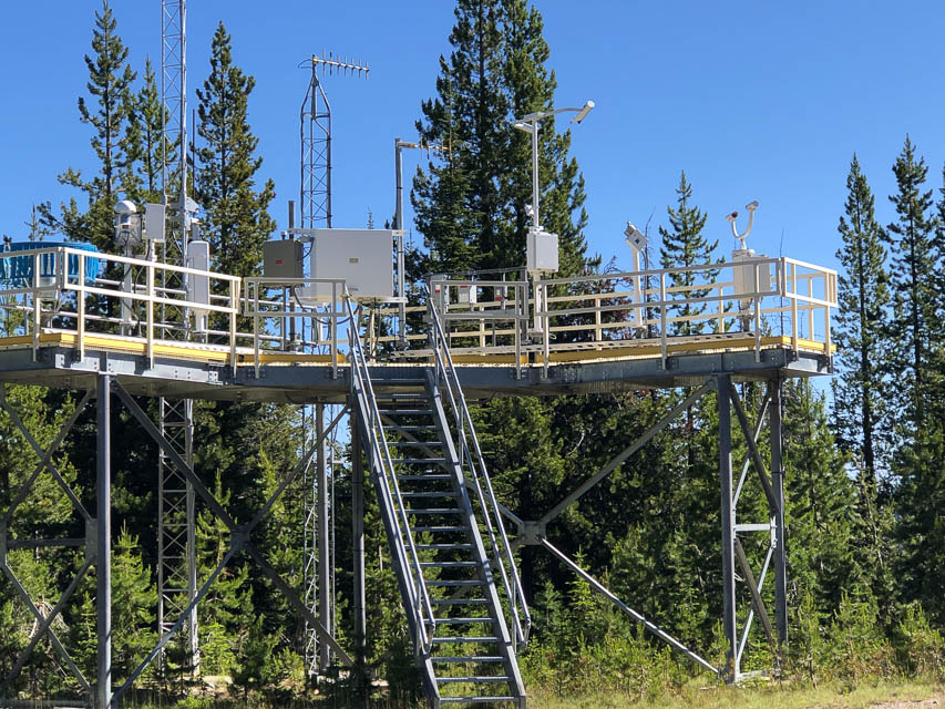
The clearing is shared with a NOAA ASOS (Automated Surface Observing Station) which looks new in 2019 and is very high tech, with camera stalks facing each other and flashing lights and a small blue merry-go-round. I’ve been around the block a few times but didn’t recognize most of the measurement devices.
Driving directions: Drive on I-90 to Montana Exit 0.
Turn west to operate from the ski area.
Turn east onto unpaved Beacon Road to climb onto the ridge line.
The MT-ID border follows this ridge and Beacon Road is alternately in
each state.
At the clearing with the weather monitor, check your GPS to figure out
which side of the state line you're in. The clearing covers mostly ID (north) but
includes MT (south). There's a survey post marked "MONT-IDA" but it's hard to
tell where the line extends from.
Sunset Peak, DN27bn95
| Latitude, Longitude |
|---|
| 47.563513, -115.834463 |
Sunset Peak and nearby Goose Peak are high spots on Dobson Pass near the west edge of DN27, and near the eastern border of Idaho.
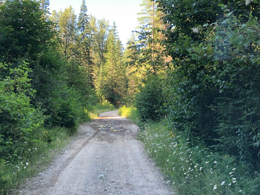
However, it's probably not worth the trip. I started up this unpaved road and found it to be poorly maintained, narrow, with potholes and overgrown vegetation. It started out paved and quickly devolved into a bad forest service road. It's not the worst road I've climbed but I didn't want to scratch up my paint for a ridge line that didn't seem that promising in the first place. I turned around and went on to DN27dk on I-90 Lookout Pass, which was excellent.
Driving directions: Five miles east of Wallace, ID, is the small town of Osburn. Turn off I-90 and go north on Two Mile Road until you either reach Dobson Pass or get tired of fighting the potholes and overgrowth.
| < Previous | Page 10 of 24 | Next > |
©1998-2024 Barry Hansen