Rover Location Database
United States Rover Locations
- USA
- USA List
- BO Alaska
- BP Alaska
- CM California
- CN Pacific NW
- CO Canada
- DL Mexico
- DM Southwest
- DN Rockies
- DO Canada
- EL Texas Florida
- EM South
- EN Central
- EO Canada
- FM East Coast
- FN Northeast
- FO Canada
- Select Grid
- Data Check
- Add a Place
Grid Field FN
2 locations - Quill Hill - Hereford Summit
Potential VHF rover sites in grid FN.
FN dimensions are 1154.9 by 1623.5 miles.
Quill Hill, FN45rb70
| Latitude, Longitude |
|---|
| 45.044577, -70.521360 |
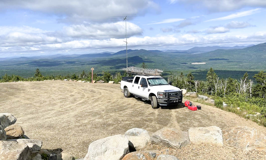
Restrictions: Day use only.
Hereford Summit, FN45eb79
| Latitude, Longitude |
|---|
| 45.083131, -71.601945 |
| < Previous | Page 17 of 21 | Next > |
©1998-2024 Barry Hansen