Rover Location Database
United States Rover Locations
- USA
- USA List
- BO Alaska
- BP Alaska
- CM California
- CN Pacific NW
- CO Canada
- DL Mexico
- DM Southwest
- DN Rockies
- DO Canada
- EL Texas Florida
- EM South
- EN Central
- EO Canada
- FM East Coast
- FN Northeast
- FO Canada
- Select Grid
- Data Check
- Add a Place
Grid Field EN
15 locations - Elberta Bluffs Overlook - Arcadia Scenic Turnout - Sterling State Park - EN52-62 HS - Grove26 - 45-90 Confluence - Fort Wilkins Campground - High Rock Bay - Brockway Mtn - Black River Campground - Craig K9CT - Heerten's Farm - Lost Creek Cemetary - Crocker - Neligh
Potential VHF rover sites in grid EN.
EN dimensions are 1154.9 by 1623.5 miles.
Elberta Bluffs Overlook, EN64vp10
| Latitude, Longitude |
|---|
| 44.626400, -86.240730 |
Overlook on Lake Michigan in a city park. See Google Street View for pictures.
Driving directions: Take Bye Street to the park, the lot is right before a turn toward the beach.
Restrictions: No services. However, the Furnace Street Distillery is within stumbling distance. :-)
Arcadia Scenic Turnout, EN64vm24
| Latitude, Longitude |
|---|
| 44.519800, -86.232700 |
This is a convenient parking area above the beach along Lake Michigan in the Huron-Manistee National Forests. It offers drive-up views right off the highway, picnic tables, a viewing platform and a toilet.
This is also known as Inspiration Point. The Manistee County line is about 300' south.
See Google Street View for pictures.
Driving directions: Directly off of M-22
Sterling State Park, EN81hv98
| Latitude, Longitude |
|---|
| 41.909711, -83.335472 |
William C. Sterling State Park offers a clear view of Lake Erie from the beach parking area. Food trailer open in the summer. This is the only Michigan park on Lake Erie.
See also Michigan's DNR Sterling State Park website.
Driving directions: 2800 State Park Road, I-75 Exit 15, Monroe, MI 48162
Follow the park road and turn into the parking area right before
the RV campground.
The south east corner of the lot is closest to the facilities.
Restrictions: Open 8am-10pm. Entrance fee is required. Overnight camping is available.
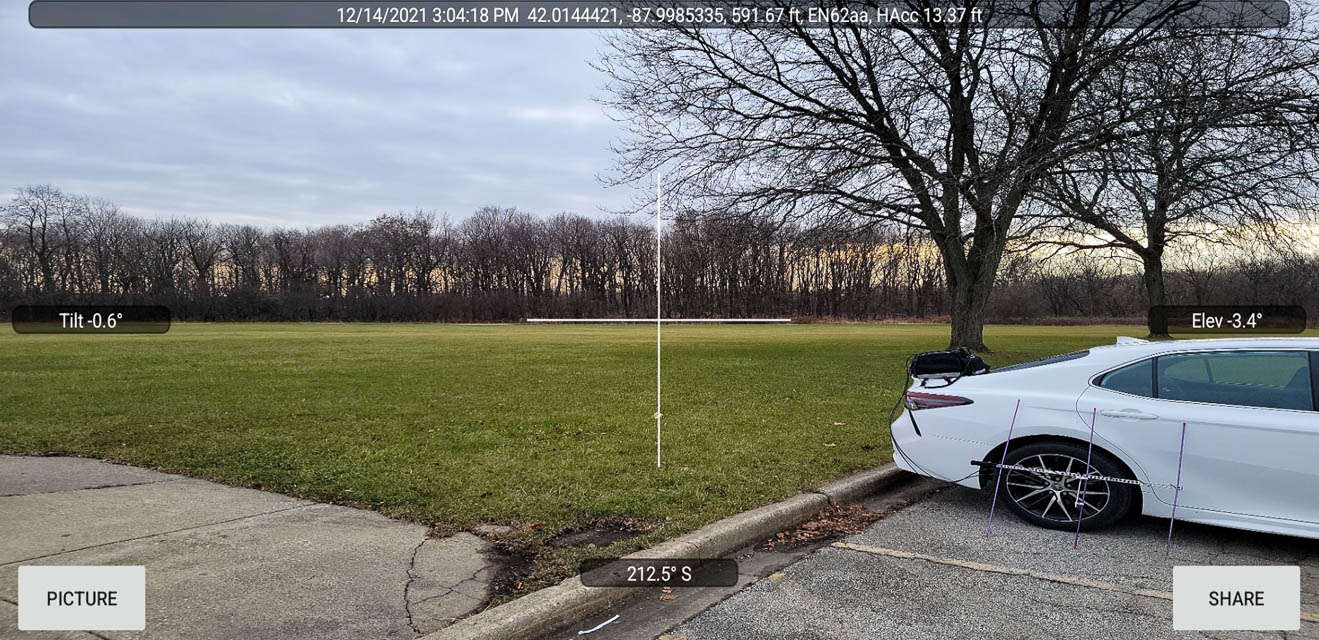
EN52-62 HS, EN62aa02
| Latitude, Longitude |
|---|
| 42.012112, -87.999900 |
The EN52-62 grid line includes through the west corner of the large parking lot for Elk Grove High School.
Grove26, EN62aa03
| Latitude, Longitude |
|---|
| 42.014411, -87.998461 |
45-90 Confluence, EN55aa00
| Latitude, Longitude |
|---|
| 45.000000, -90.000000 |
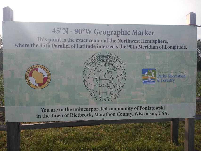
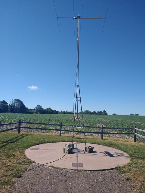


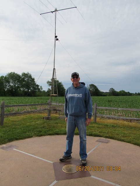
This is the confluence of EN44-45-54-55. The 45°N - 90°W Geographic Marker is located in northwest Marathon County in the Town of Rietbrock.
A quarter-mile pathway will lead you to the point that is the exact center of the Northwest Hemisphere where the 45th Parallel of Latitude intersects the 90th Meridian of Longitude.
There are only four 45° - 90° locations in the world. Two of these are located in oceans, one is located on a mountainous portion of China and one is located here in Central Wisconsin. Marathon County’s location is the only conveniently accessible marker in the world. There is a perceived significance that this geographical location is responsible for the prevalence and high quality of ginseng in Marathon County.
Anyone who visits the marker is encouraged to stop at the Wausau/Central Wisconsin Convention and visitors Bureau in downtown Wausau to sign the official 45°N - 90°W Club Registration Book and receive a commemorative coin.
On June 20, 2021, John W9JN and his team activated this 45-90 degree spot. Operators were Jacob K9TVG, Gene N9GEP, Rick WX9M, Dave K9DRO and myself John W9JN.
Fort Wilkins Campground, EN67bl61
| Latitude, Longitude |
|---|
| 47.466319, -87.858681 |
Fort Wilkins Historic State Park offers East and West campgrounds with numerous campsites for tents, trailers, RVs and mini cabins. Located between Lake Superior and tiny Lake Fanny Hooe, it's a destination for outdoorsmen.
Campground reservations are accepted online up to 6 months in advance. Camp Sites/Fees: (159) $25 (20/30 amp); $29 (50 amp) or $20/$24 off-season.
Pick as far east as you can go, to reduce affect of Brockway Mtn about 1.75 miles away. If you pick a slot with 20/30-amp outlets then you won't need to run a generator.
High Rock Bay, EN67dk42
| Latitude, Longitude |
|---|
| 47.426562, -87.713889 |
Takes an hour from US-41 on very rough unpaved road. Est 7.5 miles. TripAdvisor review. No water, no toilet. Dangerous roads. Don’t attempt after a heavy rain. Public, state forest, free. Street view shows a tent camper.
This is an empty promonitory along the water at the end of a long road toward the eastern tip. Expect less traffic and fewer day-trip visitors. Open exposure to south and east. Heading to Seattle is 257 degrees and goes through Brockway Mtn.
State Forest land camping permits are required and can be applied for online. Pathfinder, Keweenaw Traveler.
Brockway Mtn, EN67al31
| Latitude, Longitude |
|---|
| 47.464063, -87.969444 |
Brockway Mtn Drive is a terrific E-W ridge along the highest point of the EN67 grid. However, it is also part of the James H. Klipfel Memorial Nature Sanctuary and the John J. Helstrom Nature Sanctuary. Utmost care is required to maintain the sensitive bird migration area.
No services. 200 cars/day. Written permit required from Eagle Harbor Township.
Black River Campground, EN46xp39
| Latitude, Longitude |
|---|
| 46.665451, -90.052083 |
Black River NFCG is a nice campground alongside the southern shore of Lake Superior in the Ottowa National Forest. It has an open horizon with an especially clear path toward the Pacific NW.
There are 40 campsites; seventeen are first-come first-served, and twenty three can be reserved in advance. See US Forest service website.
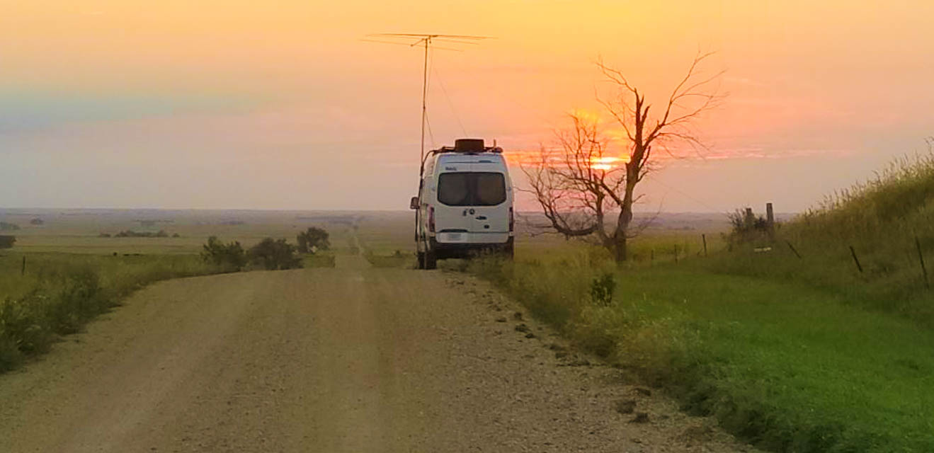
Craig K9CT, EN50bp28
| Latitude, Longitude |
|---|
| 40.662306, -89.894307 |

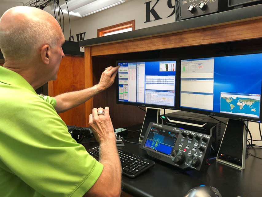
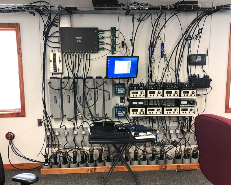
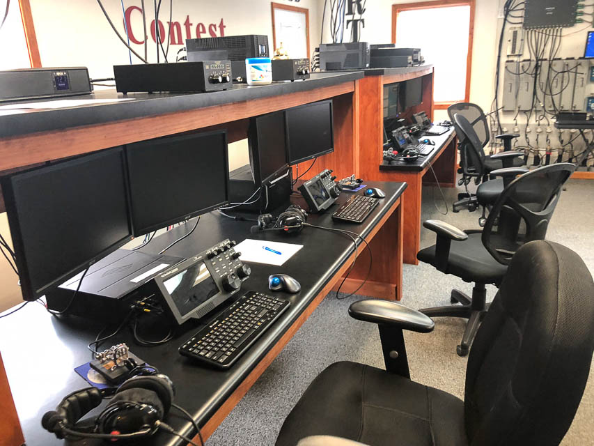
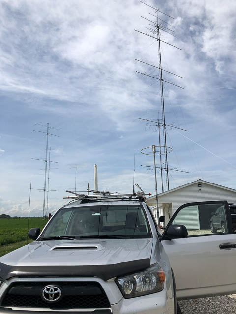
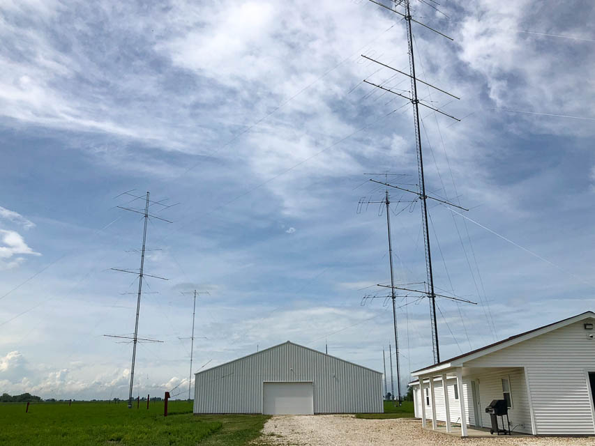
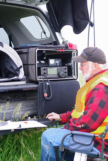
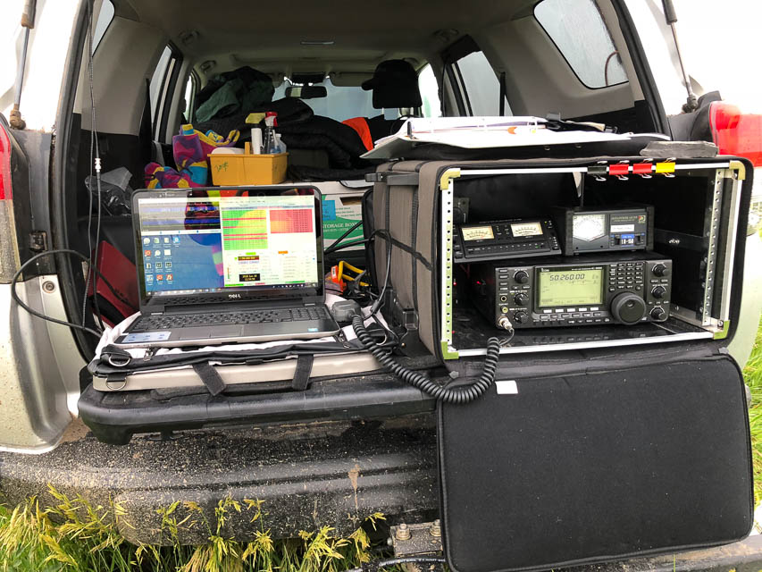
I had pizza lunch with Roger W9FF and Craig K9CT. Both are avid grid-chasers in Illinois, with whom we worked hard to complete contacts a week earlier when I was back on Gold Mtn in DN08 Okanogan, WA. We succeeded with Roger W9FF but the propagation didn't work out with Craig K9CT. Regardless, Craig bought us lunch and invited us for a shack tour. Imagine my surprise when I saw the scale of Craig's contest station which features many of the top devices and software currently available. For more, see www.k9ct.us
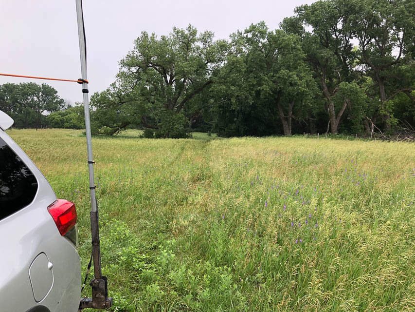
Heerten's Farm, EN02av61
| Latitude, Longitude |
|---|
| 42.881798, -99.944368 |
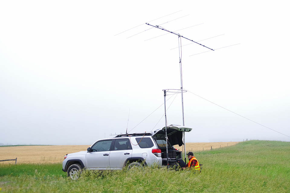
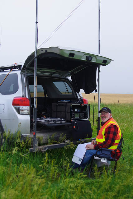
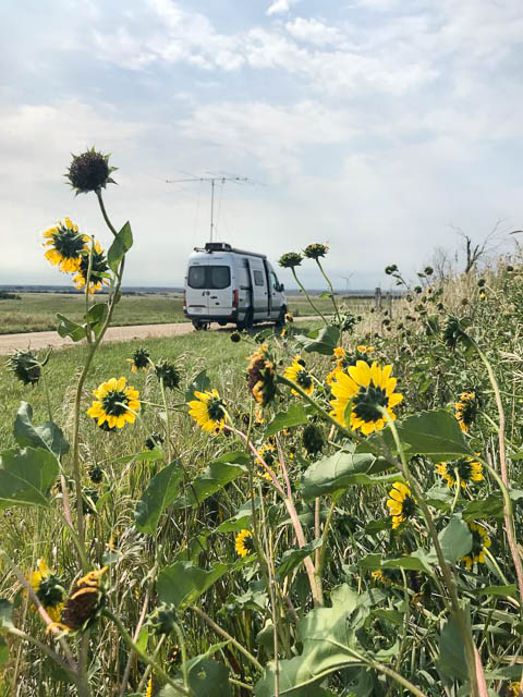
Hilltopping in Nebraska is about the same everywhere, since there are so few hills. However, there are valleys for the rivers so our activity might better named "valley topping." My intention was to visit the Springview Cemetary about five miles further north but the overnight rains made these roads very slippery.
I used this convenient pull-off north of Springview, NE, in June 2018. It worked great and made many meteor scatter and FT8 contacts. There were no houses or power lines nearby and background noise was non-existent.
There is very little traffic, but anyone that passed did stop to chat and see what I'm doing, including a reporter from the Springview Herald local paper.
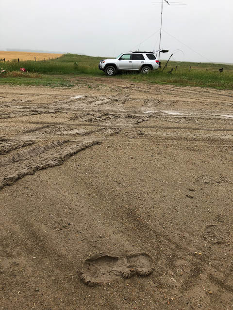
Lost Creek Cemetary, EN02aw47
| Latitude, Longitude |
|---|
| 42.948759, -99.964465 |
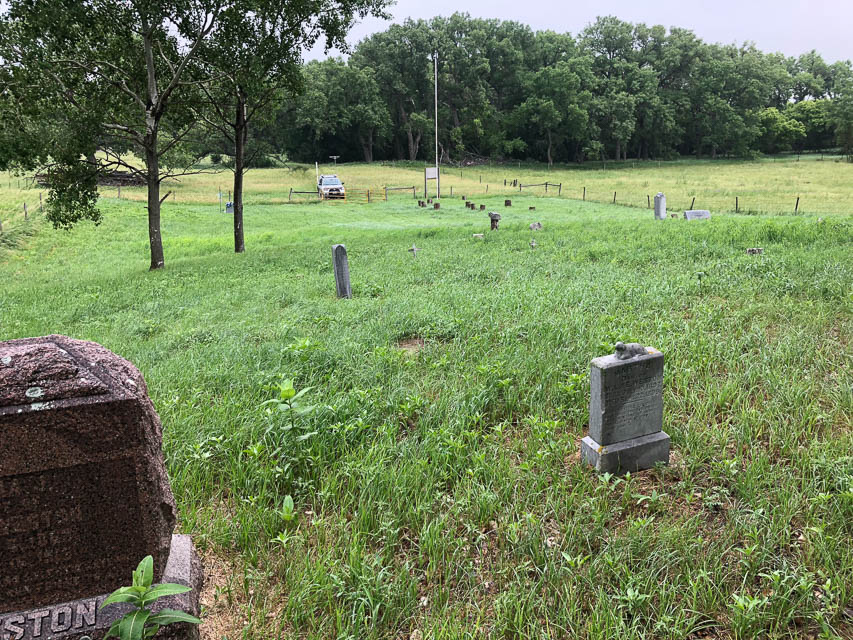


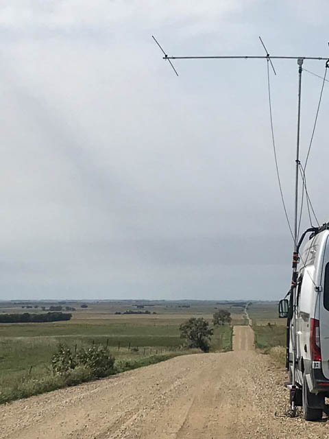
Lost Creek Cemetary is a lonely spot near the northwest corner of EN02. It has a slight (20 feet?) rise above local terrain, but you might as well be anywhere at all on the Nebraska plains. A few feet doesn't make any difference to propagation. Frankly, there's no such thing as "hilltopping" in Nebraska; however they do have valleys, so we should rename this hobby as "valley topping."
This cemetary is mostly unmaintained and there will be lots of tall grass that's probably wet with dew all day.
I found this spot while searching around EN02 but the next day, on my return, the clay roads were slick with mud so I cut my return drive short and stopped a few miles further south at Heerten's Farm.
Driving directions: From Springview, drive west on Hwy 12 for 11.2 miles,
following it around the gentle righthand bend to go north.
Turn right (42.861304, -99.925141) in order to continue driving north.
Go north 1.9 miles; at Tee intersection (42.939653, -99.925203) turn left.
Go west 0.6 miles and turn right.
Follow driveway and continue straight north into unmaintained path to cemetary.
Do not turn right into farmhouse driveway.
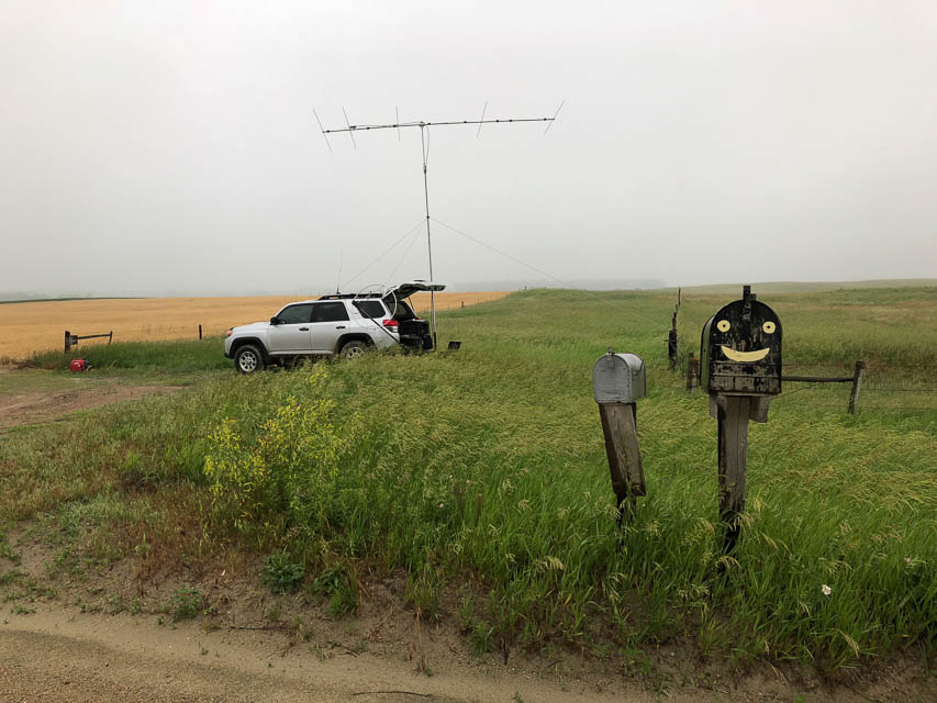
Crocker, EN15ba38
| Latitude, Longitude |
|---|
| 45.036944, -97.885833 |

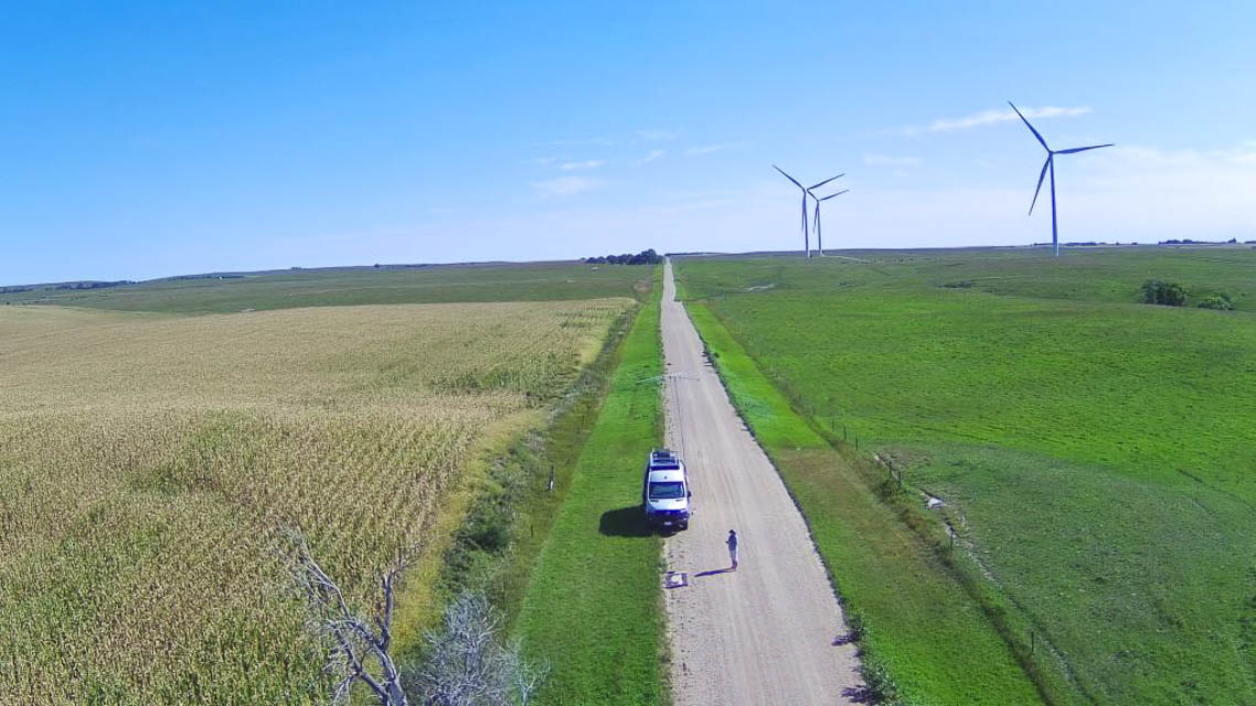
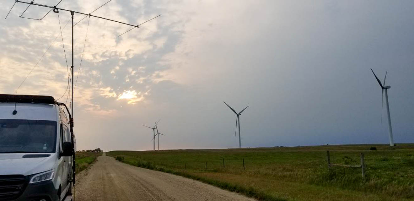
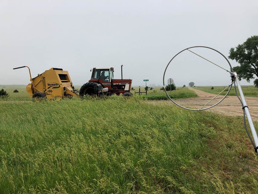
This is a random spot in a remote wind farm in South Dakota, off of Highway 20, just south of the town of Crocker.
There is a very cool small local bar/restaurant called "Crocker hills Bar and Grill" in the corn fields on the south edge of Crocker where you might be able to ask for additional directions. The Crocker Hills Bar and Grill also has camp/RV sites for a nice base camp area for a June activation.
Look for an elevated rise in the area called Buffalo Ridge that is worth additional exploration. We ran out of time to search out the "perfect take-off site" and settled on a spot between cornfields in a wind generator farm. We had a gentle slope downhill to the north west, west, south west and south, not perfect, but OK. We asked farmer where to set up and he said all the roads are county roads, so set up anyplace just off the side of the road.
As always, given more time you could probably find better locations (and report back here!!) but we were trying to hit the most distant needy FFMA stations to our South and West that were clearly too far for 6m meteor-scatter contacts, i.e., anything up to about 1200 miles out to the east. We found SE and South were easier to complete the contacts.
John NA6L
Restrictions: Be aware of and respect reservation land in grid EN15.
Neligh, EN02xd62
| Latitude, Longitude |
|---|
| 42.135792, -98.030464 |
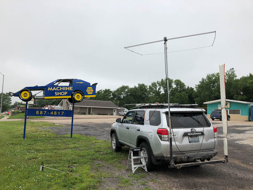
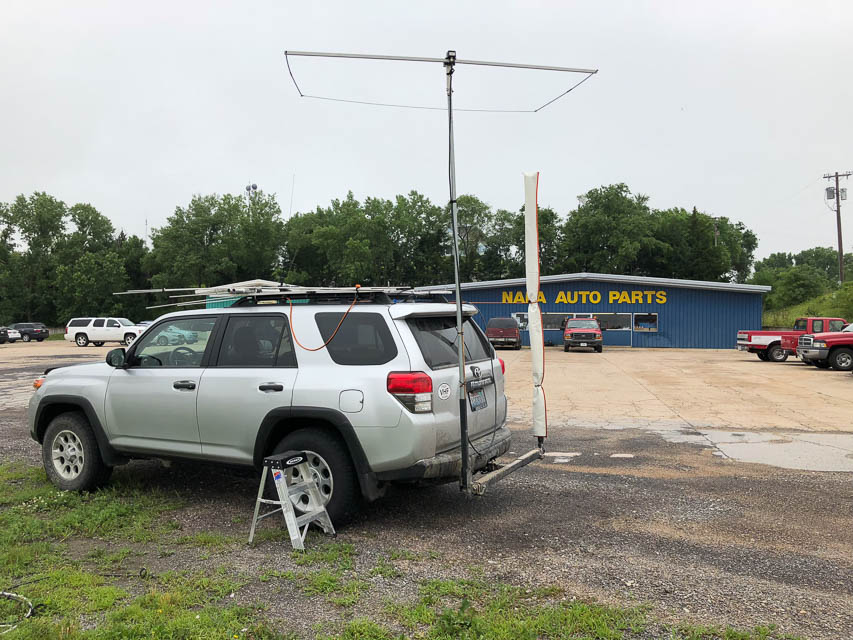
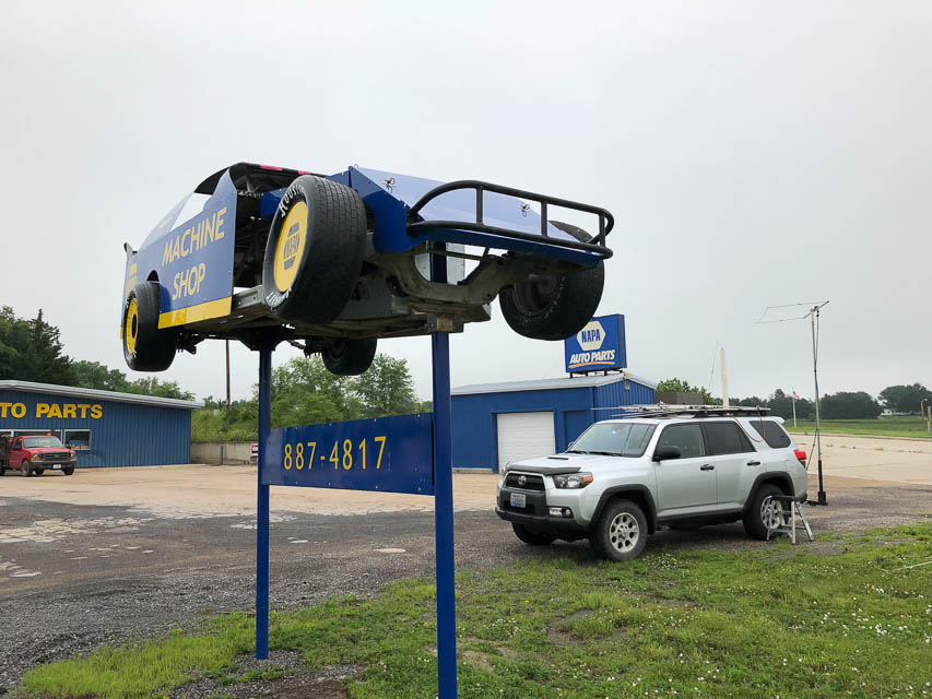

I needed a quick stop in southeast EN02 to get as close as possible (200 miles) to a ham in EM29cp. Neligh is a town on a mild hill before the highway descends slightly into lower ground. This parking lot by NAPA Auto Parts offers lots of room where I wouldn't bother anybody. Besides, it has a cool track racer on a post.
Driving directions: 1199 N Street, Neligh, NE 68756
| < Previous | Page 14 of 21 | Next > |
©1998-2024 Barry Hansen