Rover Location Database
British Columbia Rover Locations
- BC Map
- CN69 Vancouver
- CN78 Vancouver
- CN79 Vancouver
- CN88 Victoria
- CN89 Vancouver
- CN99
- CN50 Vancouver
- CN60 Vancouver
- CN70 Vancouver
- DN09
- DN19
- Add a Place
Grid Square DN09
1 location - Mt Kobau
Potential VHF rover sites in BC grid DN09.
DN09 dimensions are 89.8 by 69.2 miles.
Explore this grid in Google Earth or equivalent:
Mt Kobau, DN09dc97
| Latitude, Longitude |
|---|
| 49.113271, -119.673197 |
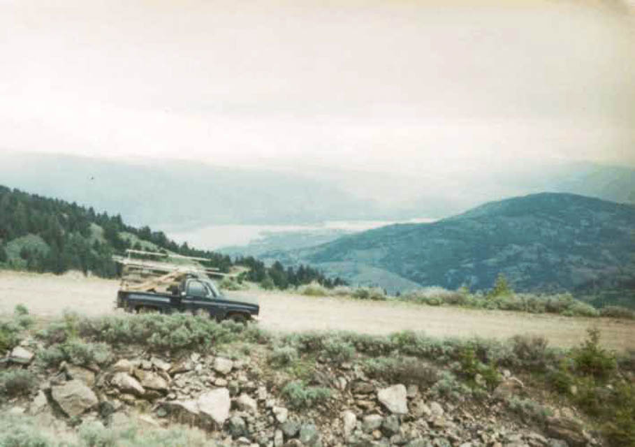
Mt Kobau has a scenic view from a high spot northwest of Lake Osoyoos in the southern part of the Canadian Okanogan.
Driving directions:
The road is well marked from the highway and is 12 miles of gravel to the viewpoint. In the photo, the U.S.-Canada border can be seen on the far right, above the lake. You can see Lake Osoyoos in the photo.
Per VE7FO, the junction of highway and road up the mountain is N 49 deg 04.874' min W119 deg 35.679 min, and the Parking lot at the top is N 49 deg 06.791 min W 119 deg 40.401 min.
| < Previous | Page 11 of 13 | Next > |
©1998-2024 Barry Hansen